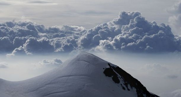
The Vincent Pyramid is the last mountain of the Monte Rosa massif and the most southern 4000 meter peak of the Monte Rosa massif standing entirely on Italian territory. It is the “home summit” of the Rif. Gnifetti and is located on the border between the Italian regions of Aosta Valley and Piedmont. It lies south of the Ludwigshohe, between the Lysgletscher and the Ghacciaio delle Piode. Its first ascent was inspired not so much by sporting ambition as by a search for gold. This motive explains the illustrious team of climbers, Johann Nikolaus Vincent, mining engineer and owner of the Alagna gold mines, the hunter Jacues Castel and two miners. They reached the summit on August 5th 1819 via the south-east face. The most frequently climbed of all routes up the Monte Rosa massif leads from the Colle Vincent up the Vincent Pyramid. This route was first used in 1851 by the brothers Adolph and Hermann Schlagintweit and Peter Beck.
The peak, with its almost vertical face overlooking the Alanga valley, was named the Vincent Pyramid in honor of the first person to climb it, Johann Nikolaus Vincent. The Vincent Pyramid is a very easy snow climbing peak with different routes such as the south-west flank, south ridge, south-flank in summer and the shorter north-west flank in winter for ski mountaineers. Not disputable are the dangerous routes through the crumbling and objectively dangerous 500 meter high south-face. But there are 3 interesting mixed routes in the 350 meters high south-west face. The south-west flank has several routes on shoulders, spurs and couloirs. It takes approximately 4 to 6 hours from the Gnifetti hut. The east-south-east ridge from the Punta Giordani is not really a mountain but a shoulder of the Vincent ridge. It takes about an hour and 30 minutes to the Punta from Indren, then another 2 hours climb to the Vincent Pyramid. North-west flank or the normal route is approximately 2 hours and 30 minutes form Gnifetti. If hikers and mountaineers are well acclimatized, it is possible to do it in one day from Alagna. The north-east flank or N-spur starts from Alagna side with rock climbing and takes approximately 6 hours from the hut.
The Vincent Pyramid rises dramatically to the south of the Colle Vincent. When seen from the Balmenhorn, the Vincent Pyramid looks like the “last mountain” with an abyss beyond. This is almost correct, as Alagna at the height of 1190 meters, is just eight kilometers from the peak as the crow flies.

