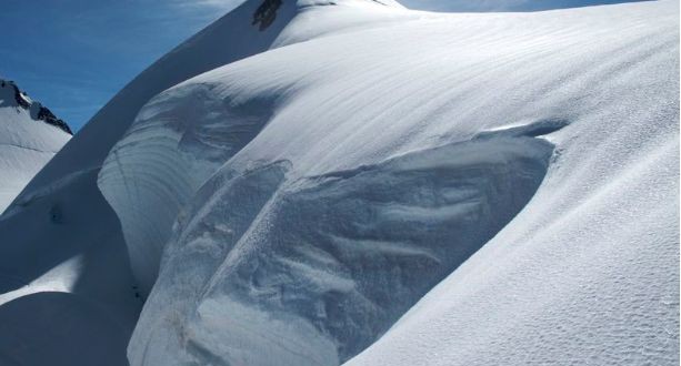
The Parrotspitze is the 12th highest peak of the alps. Nevertheless it is only a minor peak compared to the four main peaks of Monte Rosa. It is situated south of Signalkuppe/Punta Gnifetti at the very end of the Grenzgletscher glacier. It can be seen well from the famous viewpoint Gornergrat. The Parrotspitze is one of the independent 4000 meter summits of the Monte Rosa Massif, with a prominence of 136 meters. The prominence of a mountain is an important characteristic for determining whether it is independent. Seen from the west or east, the Parrotspitze is pyramid-shaped, seen from the north, it appears more like a hump. It is covered with old granular snow, formed when crystals fuse into larger, hailstone like particles as a result of melting and re-freezing. The mountain presents a very different appearance seen from the south, which has a sheer rock face.
The summit was named by the Austrian general and surveyor Ludwig Freiherr von Welden in honor of the German doctor and scientist Johann Jakob Freidrich Wilhelm Parrot, a pioneer of alpinism. Another peak in Turkey is named after Parrot, the main summit of Ararat, said to be the mountain on which Noah’s Ark came to rest after the flood, as told in the Old Testament. Parrot made the first ascent of this 5137 meter peak on October 9th 1829. The doctor’s 1816 expedition to the Monte Rosa massif, however, was a failure.
The first expedition up the Parrotspitze was on July 8th 1862 by the British climbers Hereford Brooke, George and Adolphus Warburton Moore with the local mountain guides Christian Almer and Matthias Zumtaugwald led via the east face up the final ridge, but turned back just below the summit. The second and successful ascent was on August 16th 1863 with Melchior Anderegg, Peter Perren, Reginald S. Macdonald, Florence Crauford Grove, Montagu Woodmass and William Edward Hall, led via the west ridge. Which this is now regarded as the standard route to the summit. There are two easy possibilities to reach the summit, so a traverse during the ascent to the Signalkuppe is a nice possibility. The west side starts from the normal path from the Gnifetti hut to the Signalkuppe, pass the Italian-Swiss border not exactly in the Lisjoch, but a little east in a height of 4246 meters. From there hikers leave the main route. From the plateau between Ludwigshohe and Parrotspitze climb up to the west ridge which leads, a little bit exposed, to the summit. Sometimes the track follows the ridge in total that falls down from the summit to the main track to Signalkuppe. From the north-east, start from the saddle between Signalkuppe and Parrotspitze which can be easily reached from the main route. Just follow the north-east ridge to the summit.
